The Grand Canyon can be explored in Street View of Google Maps
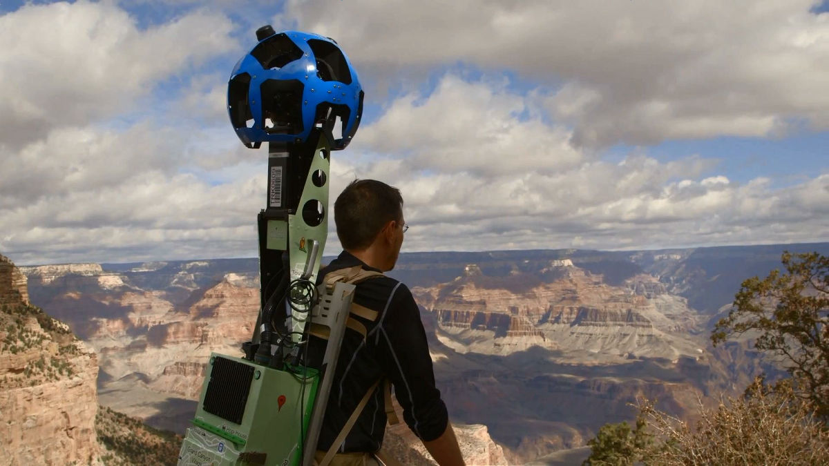
The Grand Canyon National Park has a rough terrain with a majestic landscape, the other dayChallenger Man who travels around the world by bicycle challenges the trailIt is possible to actually walk around with your own feet. Here you can introduce "Street View Trekker" which takes pictures of Street View by walking Google Maps, and you can simulate the Grand Canyon Trail simulated on the net.
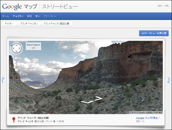
Grand Canyon - Street View - Google Maps
http://maps.google.com/help/maps/streetview/gallery/grand-canyon/index.html
Notable points are as follows.
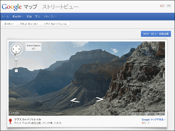
◆South Kaibab Trail - Street View - Google Maps
http://maps.google.com/help/maps/streetview/gallery/grand-canyon/south-kaibab-trail.html
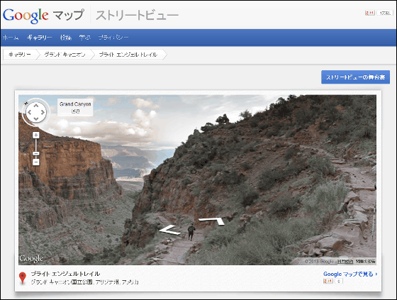
◆Bright Angel Trail - Street View - Google Maps
http://maps.google.com/help/maps/streetview/gallery/grand-canyon/bright-angel-trail.html
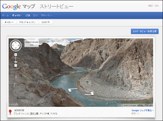
◆Colorado River - Street View - Google Maps
http://maps.google.com/help/maps/streetview/gallery/grand-canyon/colorado-river.html
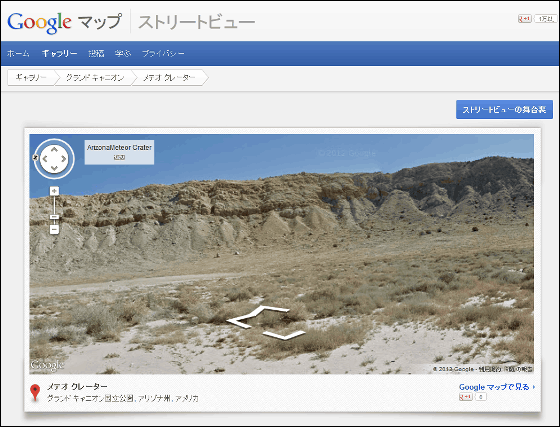
◆Meteor Crater - Street View - Google Maps
http://maps.google.com/help/maps/streetview/gallery/grand-canyon/meteor-crater.html
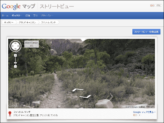
◆Phantom Ranch - Street View - Google Maps
http://maps.google.com/help/maps/streetview/gallery/grand-canyon/phantom-ranch.html
A movie that follows the shooting behind the scenes looks like this.
Explore the Grand Canyon with Google Maps - YouTube
Related Posts:


in Web Service, Video, Posted by logc_nt